Annapurna Circuit – 12 days, 200 km
After volunteering, I wanted to explore a bit more of Nepal's north.
The area around Pokhara, Nepal's second-largest city, is known for its scenic trekking routes. A popular destination for Nepalis and tourists alike is the Annapurna Circuit. It's called that because it circles the four Annapurna peaks, including an eight-thousander (Annapurna I, 8,091 m).
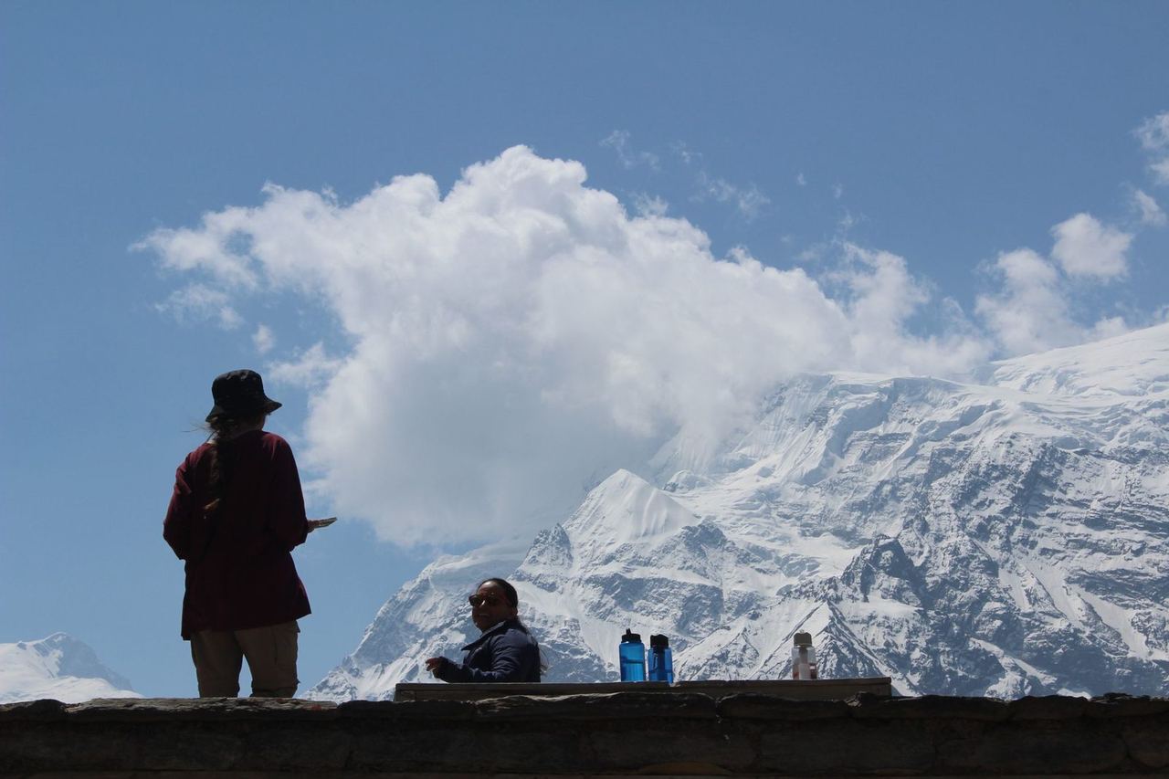
As the name says, it's basically a loop, but most trekkers only walk about a third of it, as that's the most intense and beautiful part.
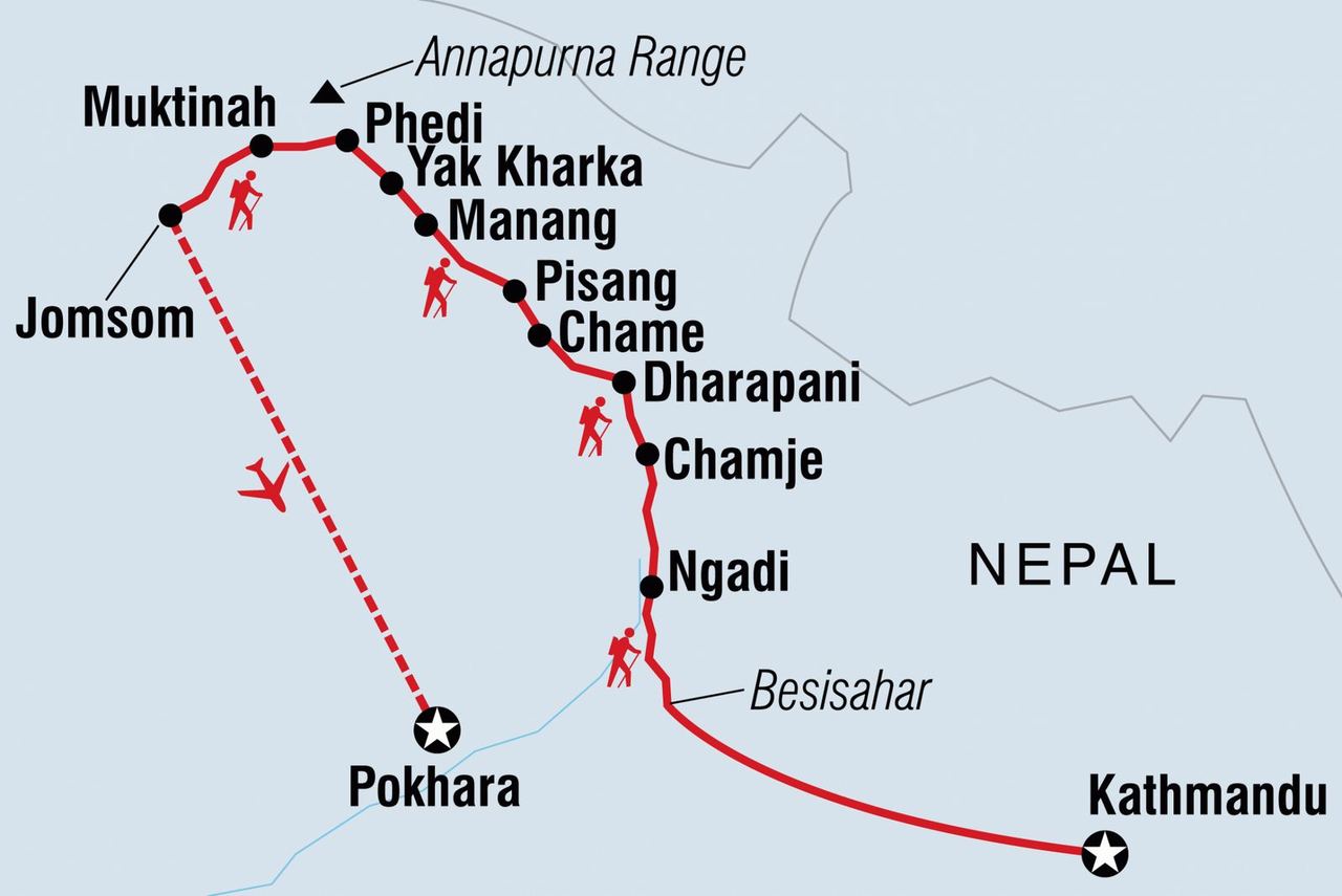
Motivated by the Everest Base Camp trek, I wanted to do this one without a guide or porter too. My pack wouldn't be more than 11 kg, and since the season is in full swing in April, the route would be busy, which makes navigating easier. On Couchsurfing I found a public event by a Mexican woman who planned to do the same at the same time. So we met in Kathmandu to see whether we could do the 12-day trek together and had similar expectations. My time was also a bit limited because my visa was running out. The planned trek was about 200 km long and would go up to a maximum of 5,416 m.
Couchsurfing (CS) is a platform where you offer your couch or another place to sleep to other travellers for free. Besides offering and requesting places to stay, you can also create events – for example, if you want to visit attraction Z in city Y on day X, others who are interested can join the event and chat. Since it's all free, CS has a bigger purpose: it's about exchange, making friends and getting to know other cultures more deeply and easily. Because of this ethos, most CS users I've met are open, curious and of a similar mindset. There are always black sheep, of course.
Fifteen people signed up for the Annapurna Circuit Couchsurfing event, but nobody except me was seriously interested, so in the end three of us set off together: the Mexican woman, her friend and me.
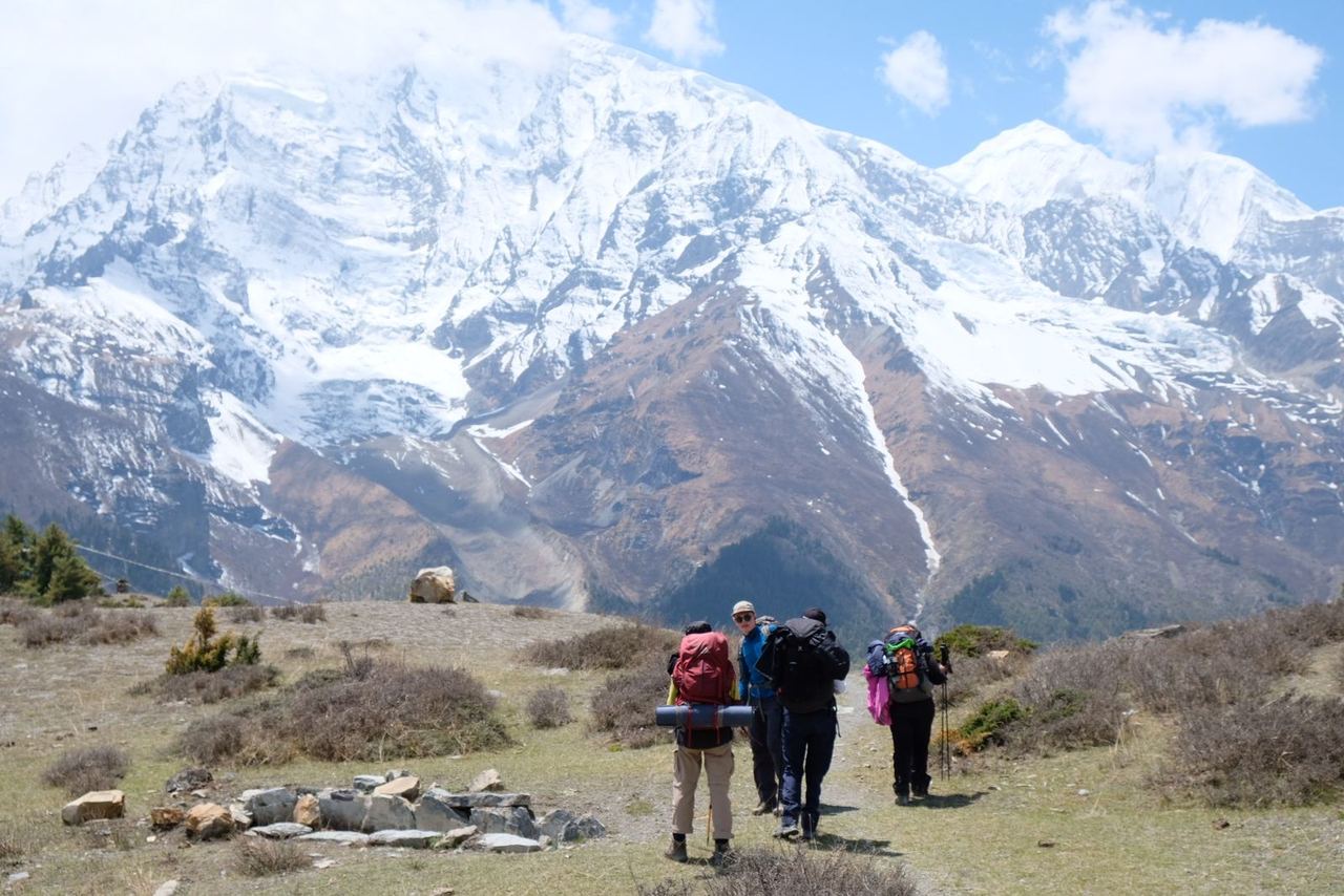
The two of them were already experienced from hikes above 5,000 m in Mexico, but those had never lasted more than two days. So in Kathmandu we bought medicines, the permit and some gear for the multi-day trek.
The route is clear and fairly well signposted. We organised our accommodation spontaneously each night. We took the daily stages from an agency that offers the route as a guided tour. As a guided trek, the 12 days cost about €850, including two meals a day, accommodation, guide and bus transport. Organising everything yourself, though, is much cheaper.
Friends I'd met back in Istanbul – who were also travelling by vehicle at the time – were doing the same trek and happened to be one day ahead of us. So they could keep giving us tips and recommendations.
For simplicity, I've divided the trek into two phases:
Phase 1: Besisahar – Manang
Phase 2: Manang – Pokhara
Phase 1
We took the bus from Kathmandu to Besisahar, at 700 m. The bumpy bus ride took nine hours.
The first stage started in Besisahar and was supposed to end in Ngadi. But the bus arrived quite late at the starting point, so we didn't make it. After about 9 km we turned up in the dark at a guesthouse that friends had recommended.
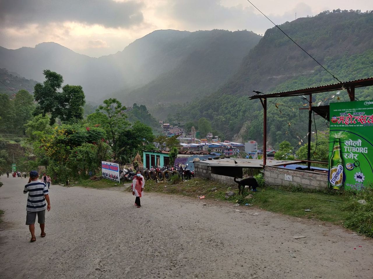
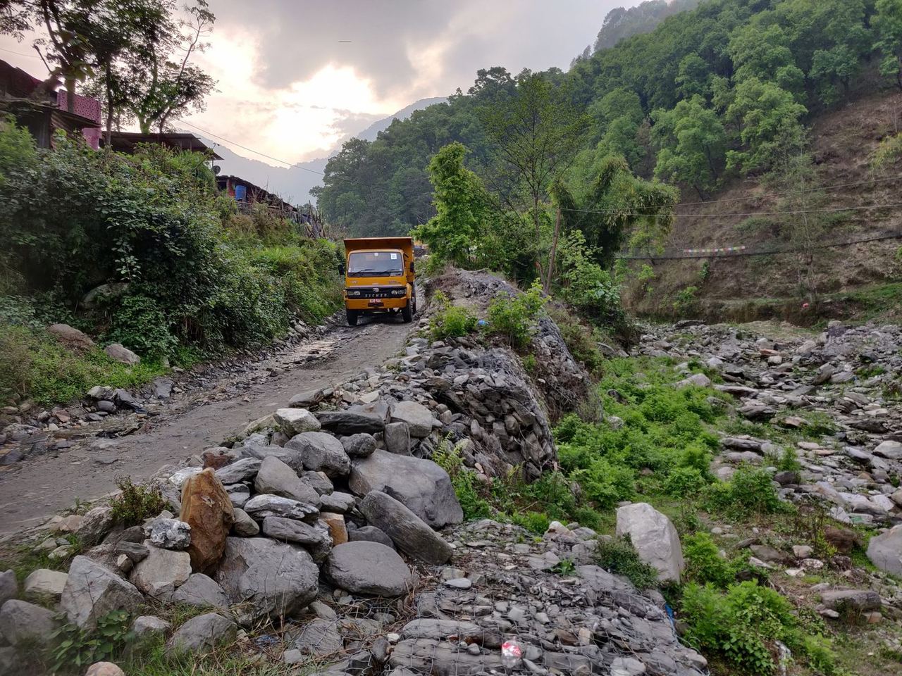
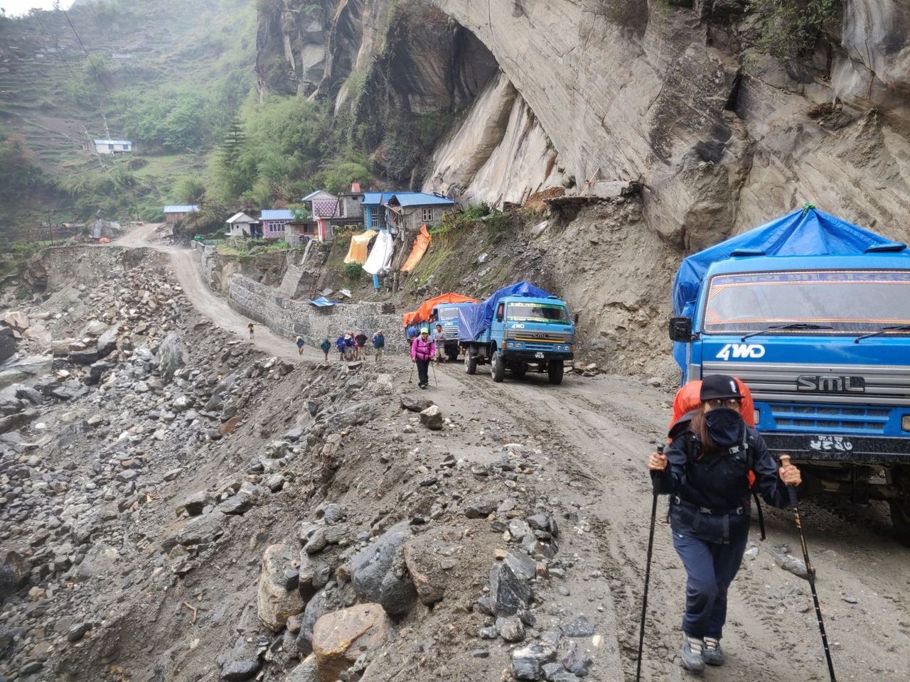
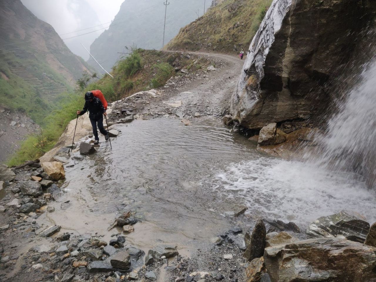
The rest of the way to Manang can be done not only on foot but also by car: a basic road leads up to the town at 3,500 m. It can only be driven in spring and autumn, though, as the monsoon brings many landslides and the road is constantly being cleared of earth and rock.
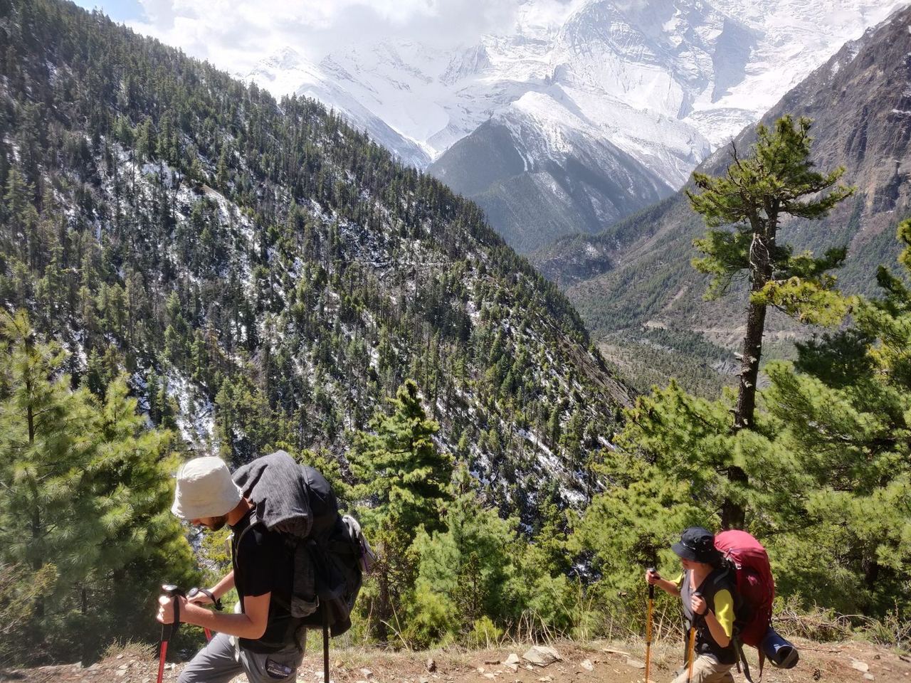
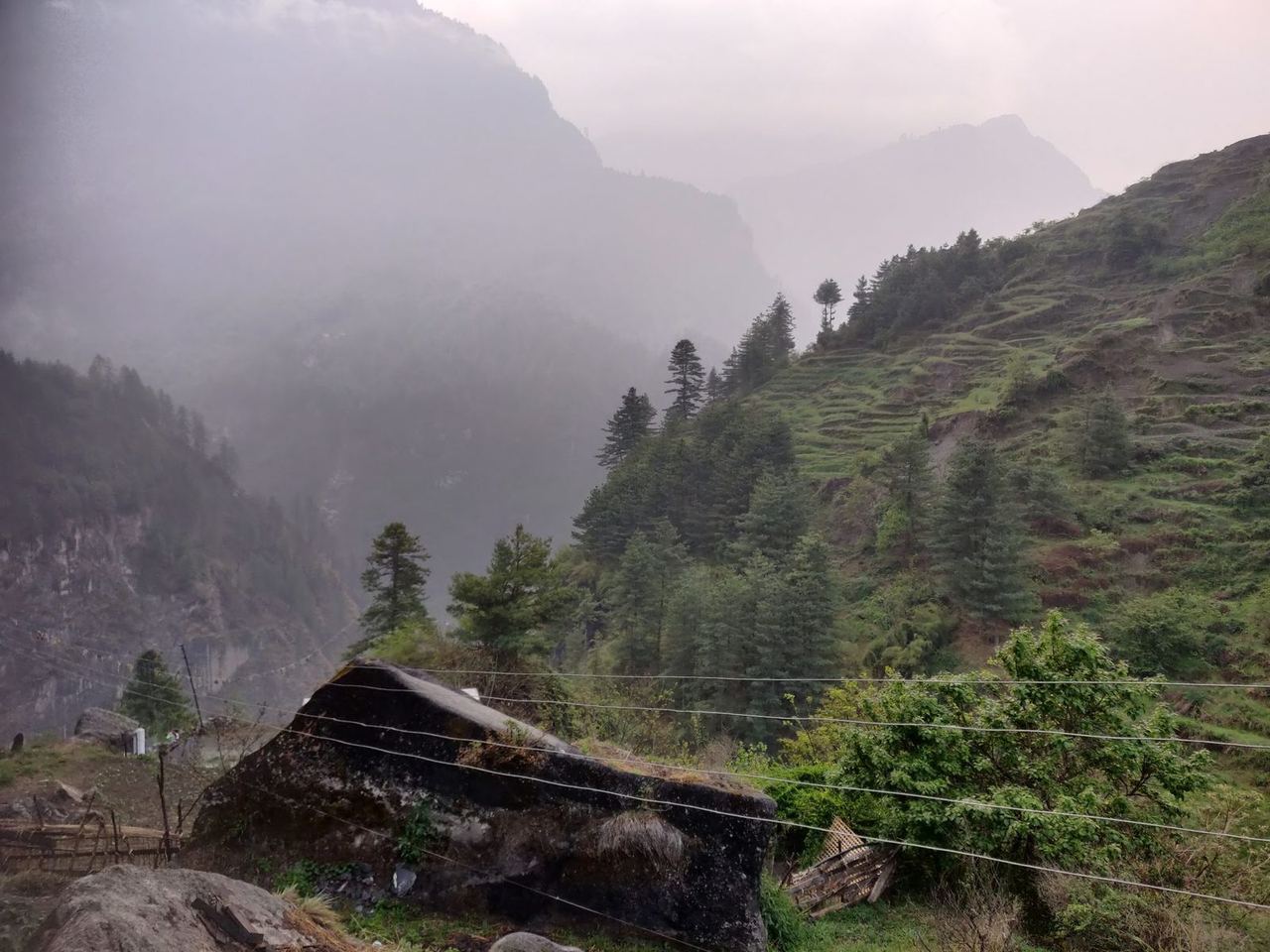
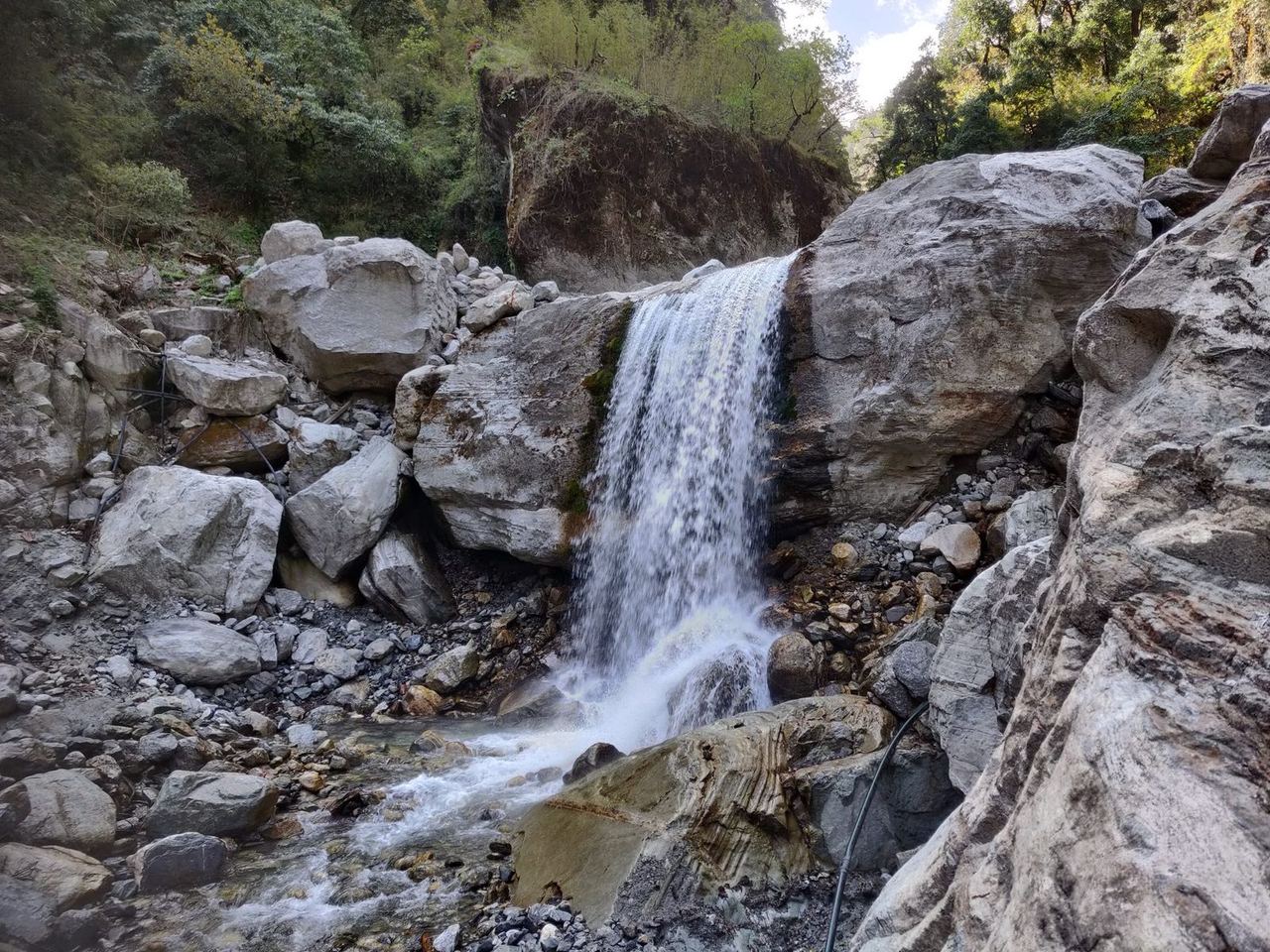
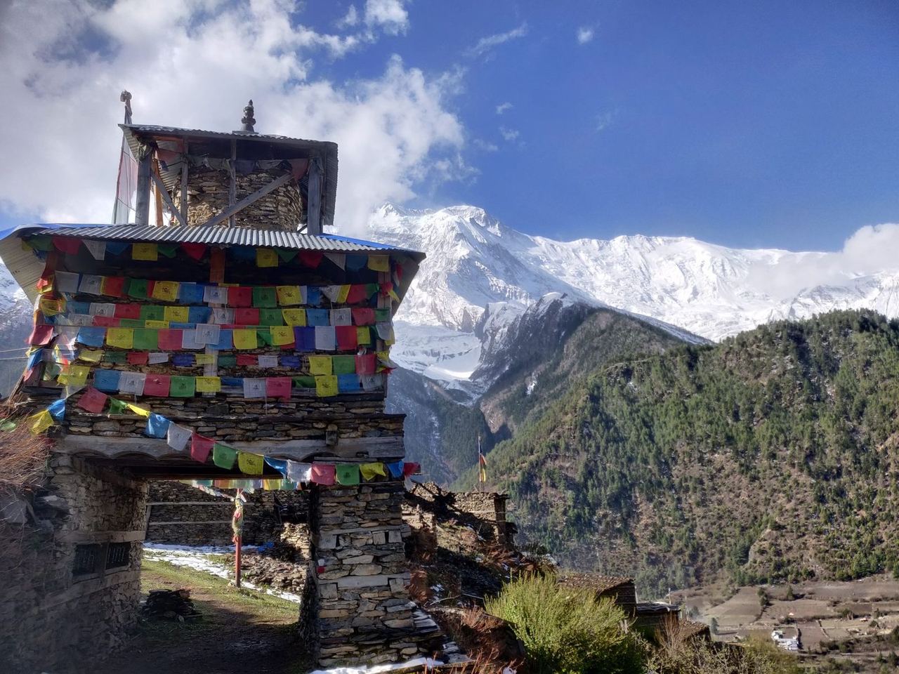
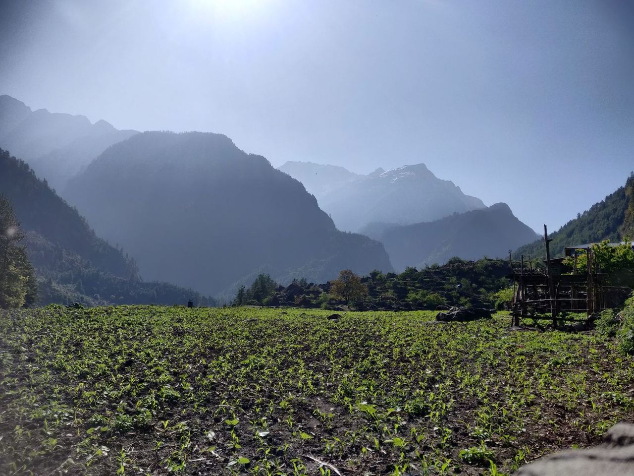
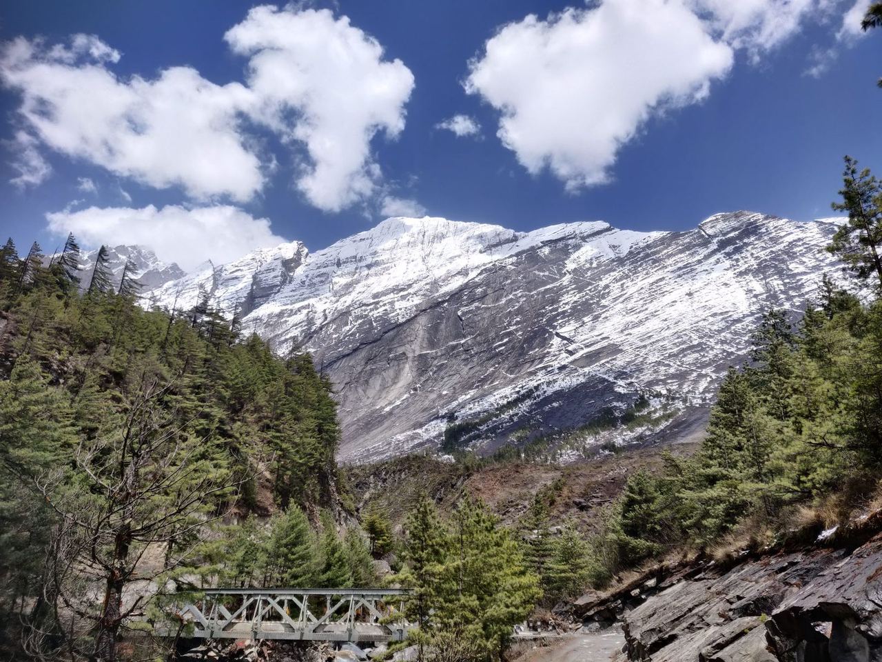
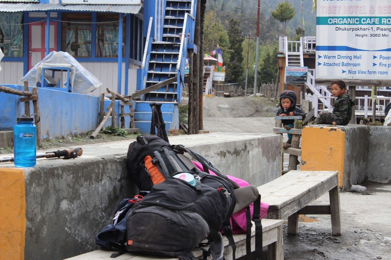
The roughly 135 km of the first phase lead from dense, jungle-like terrain into the barer mountain regions. Below 2,000 m we had lots of sun and a humid, almost tropical climate – an interesting experience with what felt like 100% humidity and a full pack. Throughout the trek, though, we could freshen up in the guesthouses in the evening and wash the clothes we'd worn. Unlike on the Everest Base Camp trek, temperatures of around 25 °C were very pleasant, as you needed fewer clothes and so carried less. Showers and constantly running water felt luxurious too – unlike the EBC trek, where almost everything was permanently frozen, whether tap or toilet.
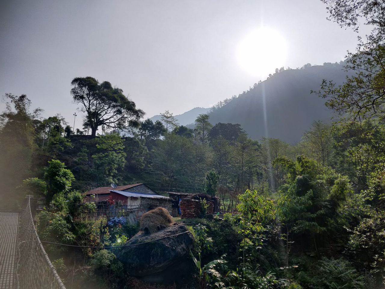
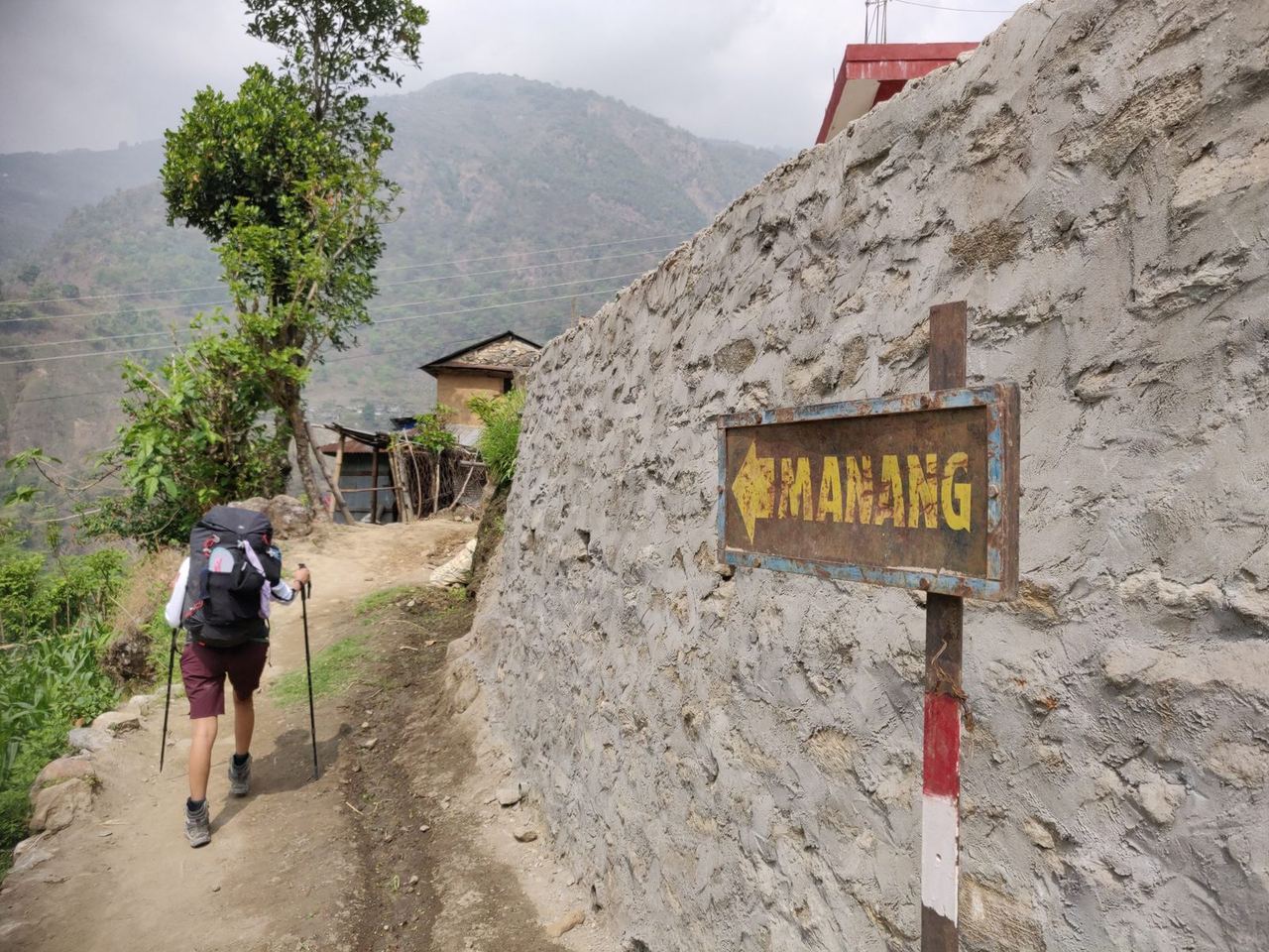
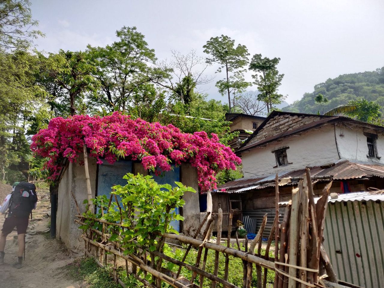
In phase 1, on the way from about 700 m up to 3,500 m, we met several other Western trekkers – including an Israeli couple who joined our group, so from day three there were five of us.
Although this trek is one of the most popular in Nepal, it wasn't crowded at all, and luckily my fear that we wouldn't find anywhere to sleep didn't come true. Occupancy was probably about half of pre-Covid levels.
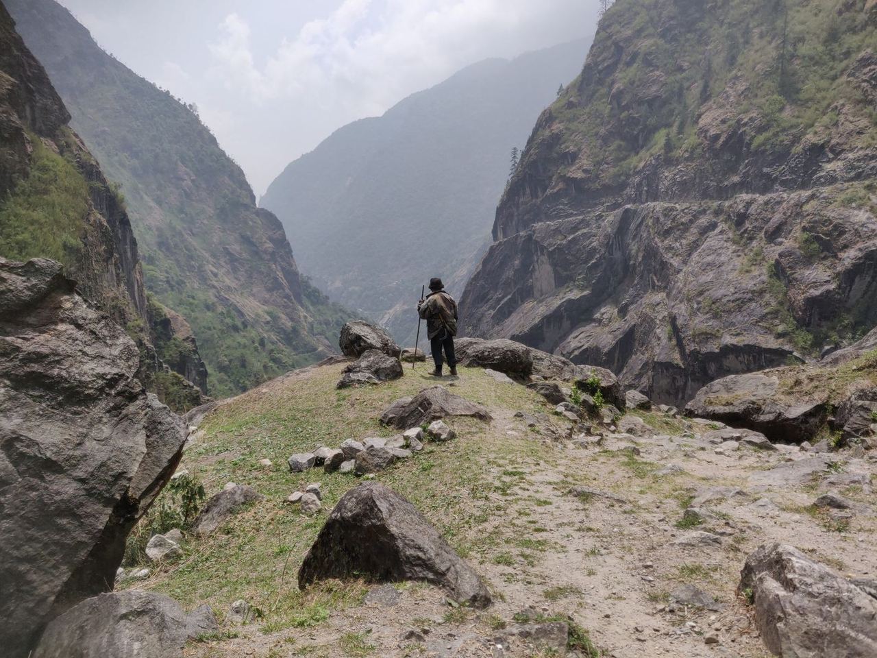
The daily stages were quite comfortable. We usually set off after breakfast at 8 am and reached the next guesthouse around 4 pm. In the first phase the trails ran alongside the road to Manang, which was fairly busy in places. That road was very basic, though – single-track and really only passable with four-wheel drive, as some sections are very steep and unpaved. The stages were:
- Besisahar – Ngadi 9 km
- Jagat 23 km
- Odar 26 km
- Koto 24 km
- Upper Pisang 20 km
- Ngawal 12 km
- Manang 14 km
Phase 2
We spent three nights in Manang, at about 3,600 m, to acclimatise. The town has small shops where you can buy clothes or food, for example. At this altitude it got no warmer than 5 °C at night. One day we hiked to an ice lake at about 4,600 m. We followed the motto "go high, sleep low", which is meant to help the body adapt to the low oxygen level. Indeed, my early symptoms of altitude sickness were milder than on the Everest Base Camp trek.
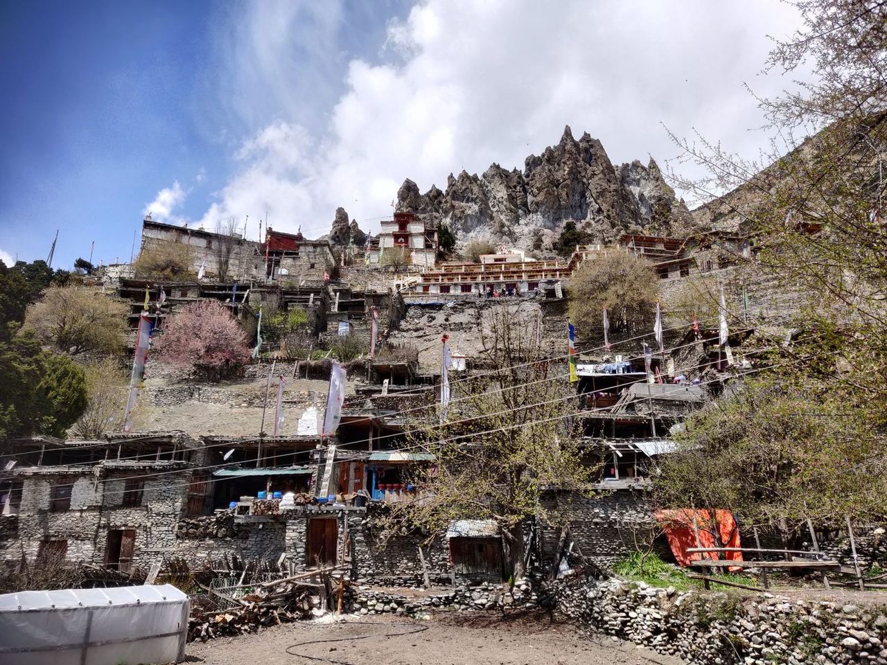
In Manang I also met the friends I mentioned earlier, whom I'd got to know in Turkey. After three months it was nice to speak German in person again with someone I already knew.
We met a few other familiar faces in Manang too, and it was nice to swap stories about the similar strains, experiences and events of the trek.
Prices for accommodation rose with the altitude – logically, as it's much harder to get food and drinks up to higher places. Beyond Manang that's only possible by donkey or yak, as there's no road any more.
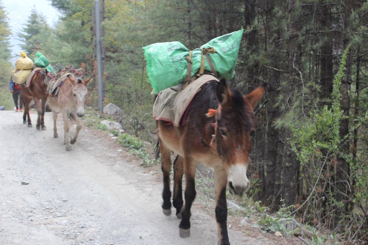
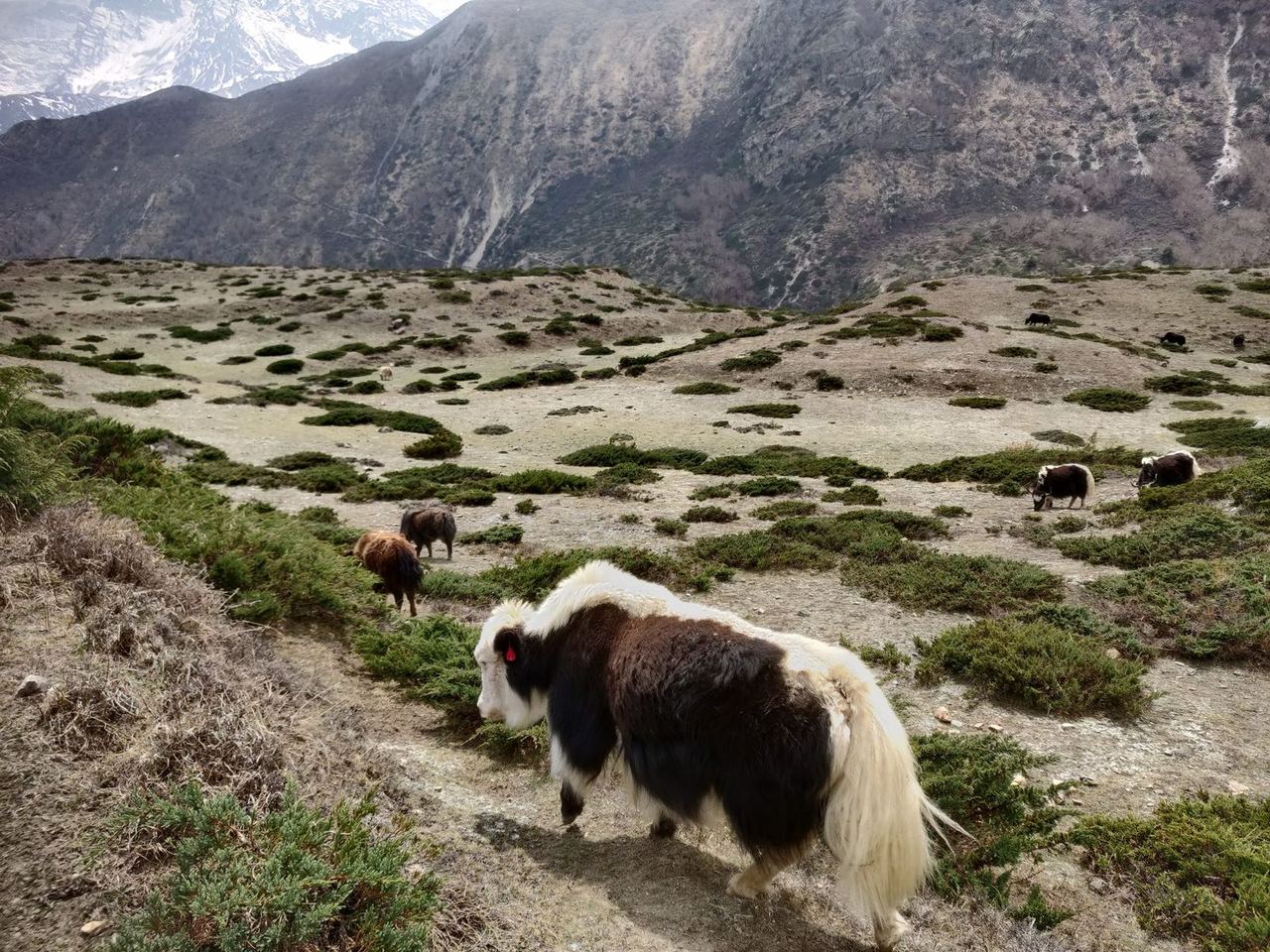
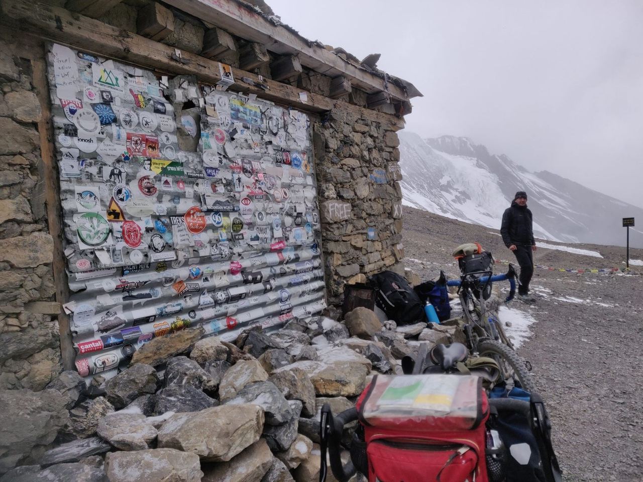
Even so, at around 4,000 m we saw four cyclists who, as it turned out, were riding the entire Annapurna Circuit. We met this group again at the highest point of the trek, at 5,416 m. Bikepacking the route is quite possible, as only about 2% of the trail is really unrideable – there you have to push.
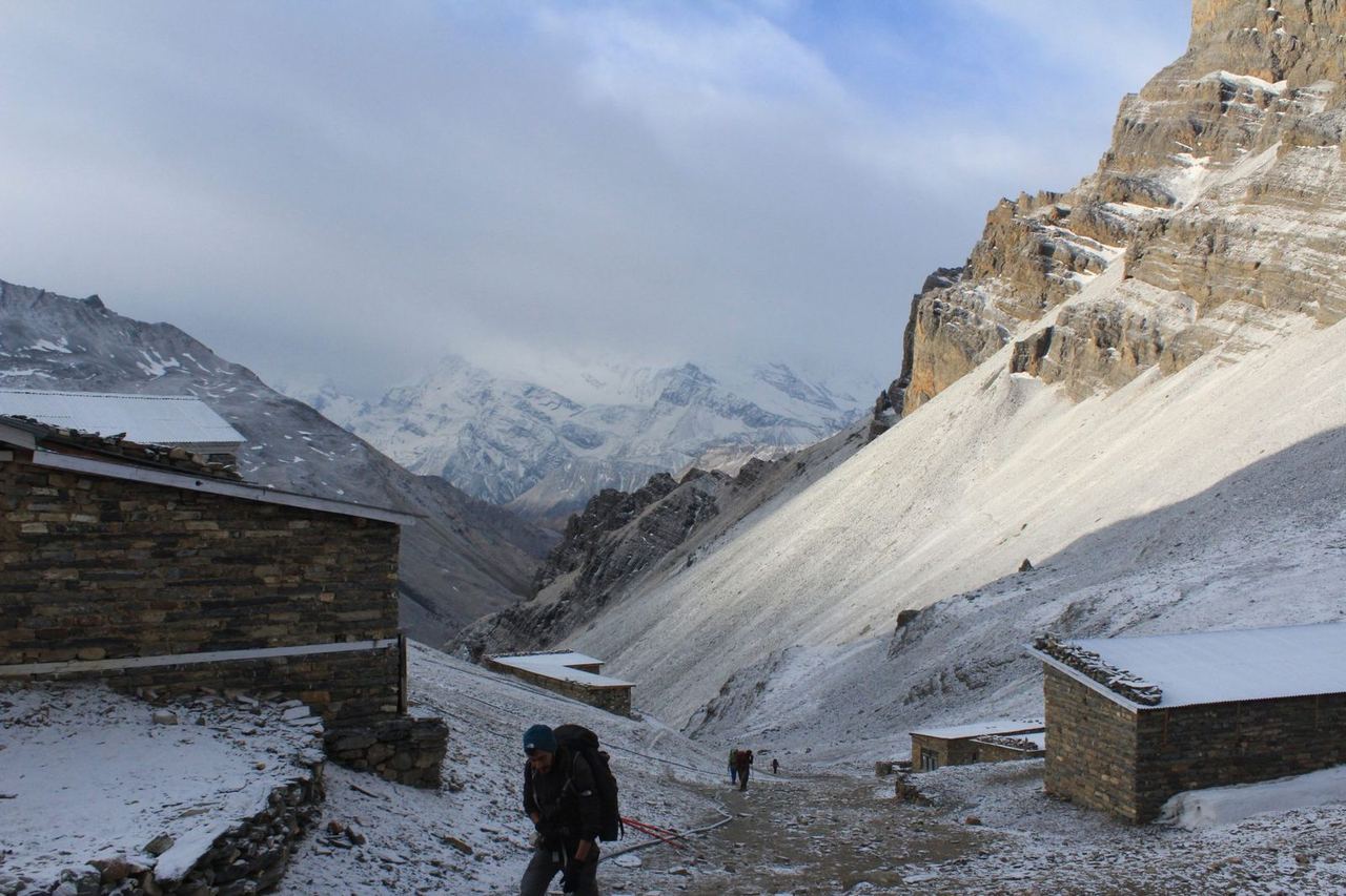
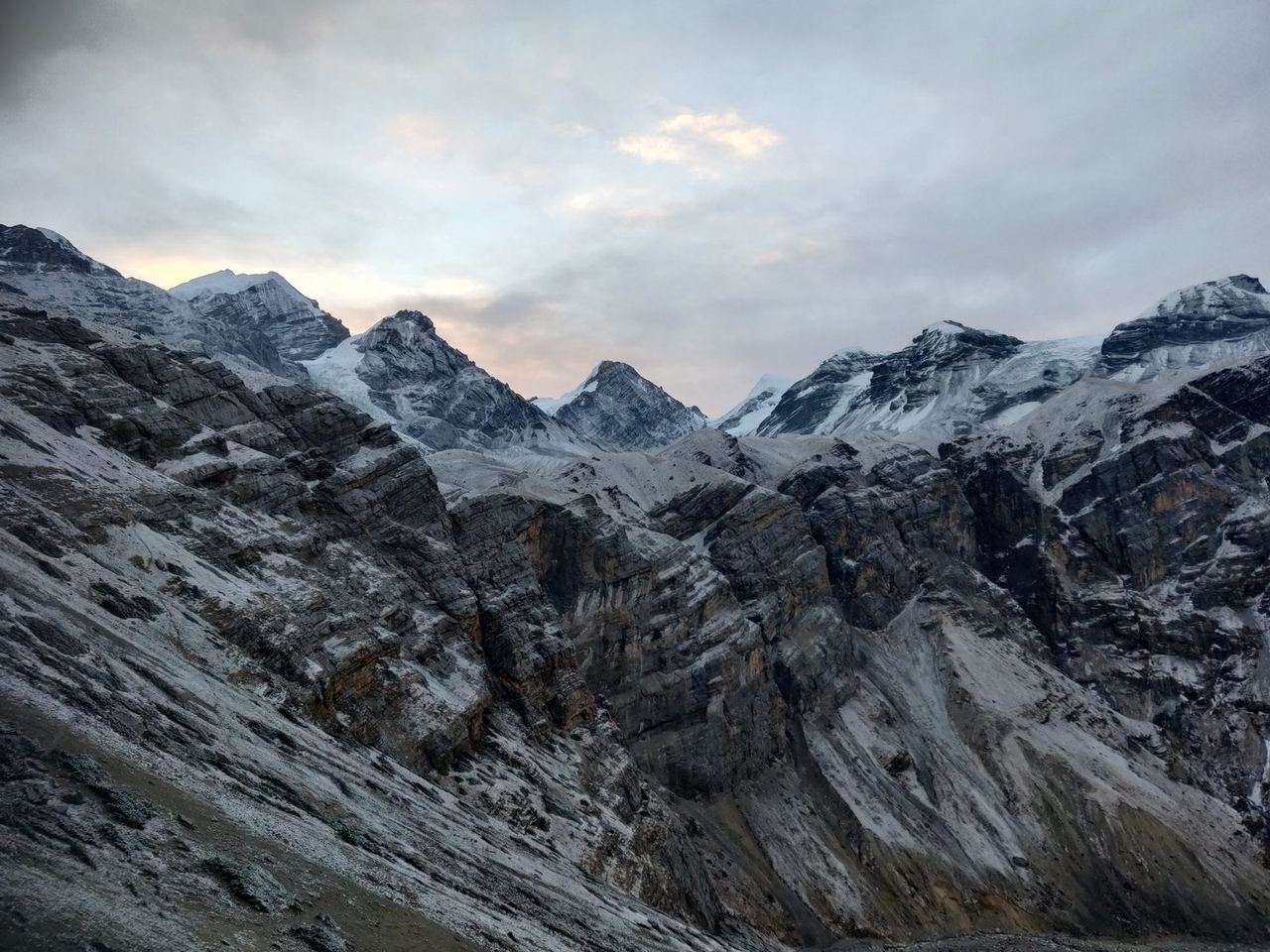
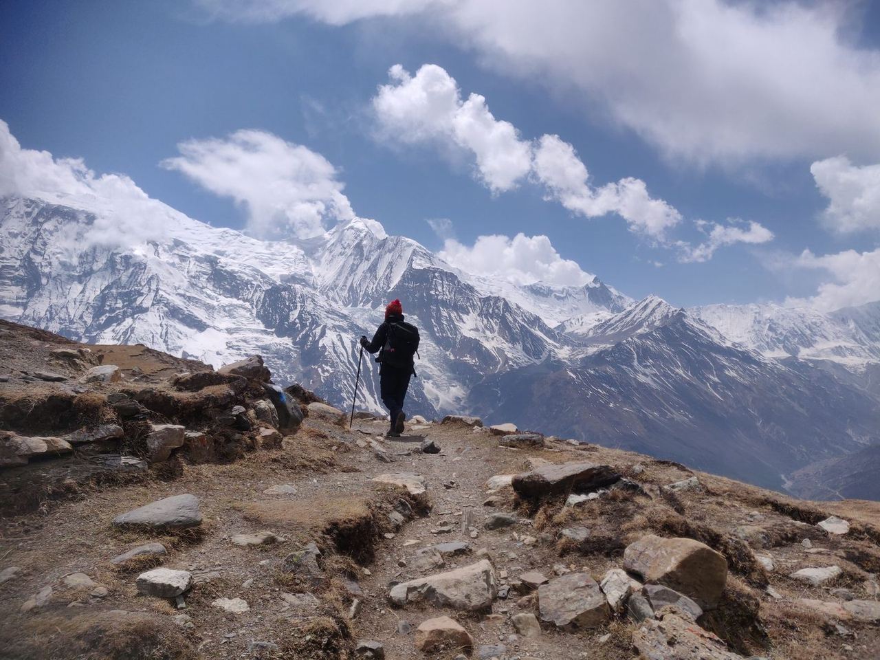
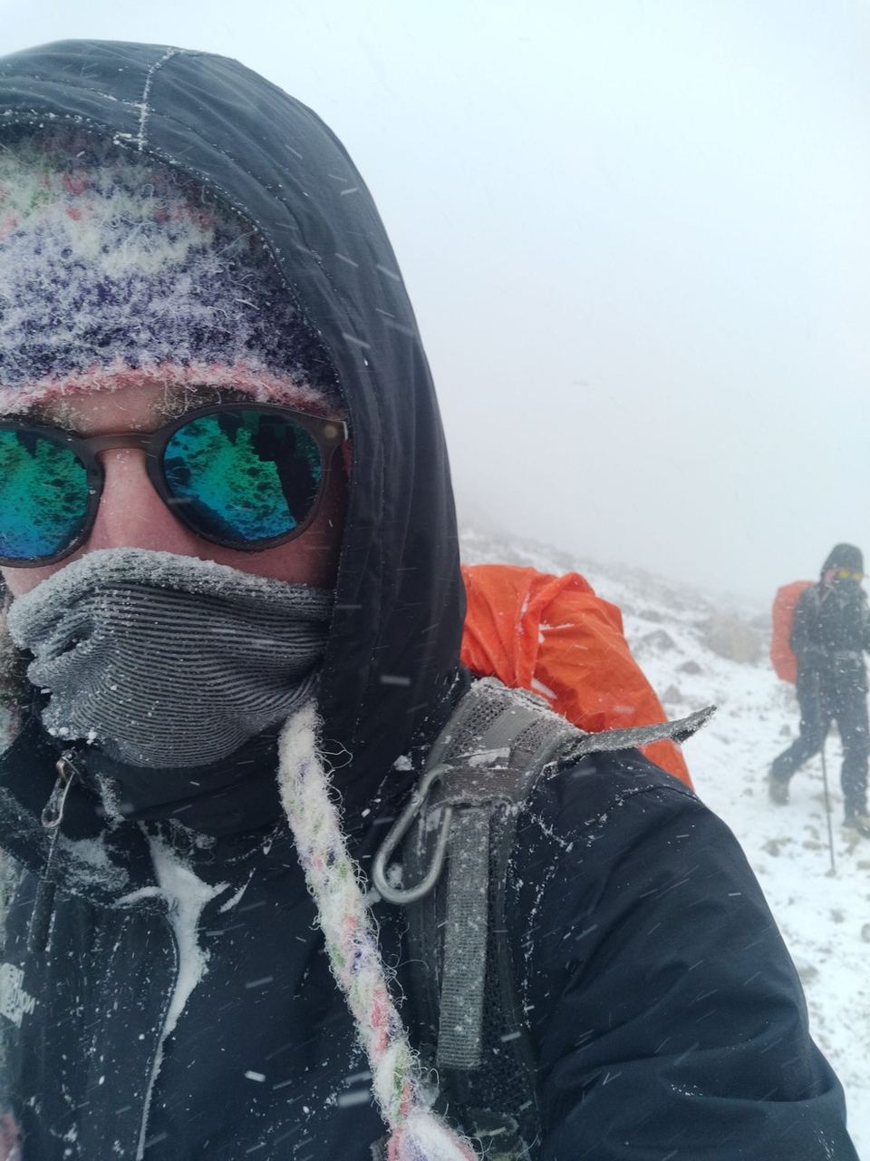
The last stage of the trek started at 4 am at -2 °C in Thorong Phedi and ended after 15 km in Muktinath (in Mustang District) at 4,000 m. The night in Mustang was truly unique. We stayed at a hotel run by a Kazakh woman I knew from the Everest Base Camp trek. The hotel was very individual and playfully decorated – quite small, and with its mix of Kazakh, Nepali and religious objects extremely authentic and inviting.


From here our paths split. On the last morning the five of us walked to the bus station, where the Israeli couple took a bus to Marpha and the three of us carried on to Pokhara, to travel on from there to Kathmandu. Our stages in the second phase were:
- Rest day 4 km
- Ice Lake 21 km
- Yak Kharka 11 km
- Thorong Phedi 8 km
- Muktinath 15 km
- Tatopani
- Pokhara
The bus ride didn't go as planned, though. After four hours on the single-track road winding along the valley, the journey ended: a huge landslide had destroyed the entire road. After three hours of waiting we were told to go back to the last town and wait there until everything had been cleared the next day.
But we decided – by now it was 9 pm – to cross the slide and walk to the next village beyond it, as we thought it very unlikely the road would be clear the next day. There were two more Germans on the bus – you really do find them everywhere 😀
They joined our plan, and the five of us climbed over the blockage in the dark and asked in the next village for someone who could take us to the next town, Tatopani (about an hour's drive). After some negotiating I found the owner of a four-wheel-drive jeep who drove us there for the equivalent of €8 each. We took the first hotel we found and went on to Pokhara the next morning. As expected, the bus left directly from Tatopani and didn't come from Muktinath, as the road was still blocked.
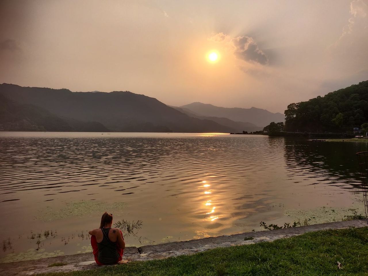
After five hours on a bumpy bus we arrived in the second-largest city, Pokhara, where we stayed one night before taking the nine-hour bus ride to Kathmandu the next morning. As the two Mexican women were leaving the country the following day, that was our last evening together after a total of 15 days travelling together.
It was really lovely with them, and despite the effort there was always a great sense of harmony.
The trek was more strenuous than the one to EBC, but more beautiful, more adventurous and more impressive. A day after we said goodbye, I flew on to India.
After three months in total, my time in this beautiful country came to an end too. On my last day I met some of the acquaintances and friends I'd made during that time to say goodbye. Altogether it was a remarkable, wonderful experience. I don't think it will be the last time I travel to the highest country in the world – even if not in my own vehicle, as planned.
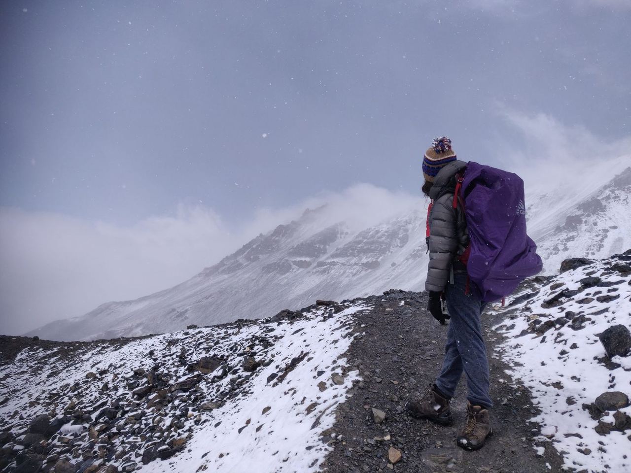
Here's another short video to go with the post.
Annapurna circuit - Hiking 200 km - Nepal - Besisahar - Manang - MuktinathWatch the video on YouTube